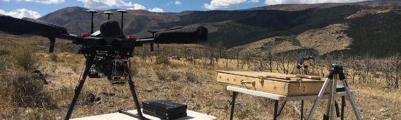
AggieAir
The AggieAir service center at the UWRL deploys and continues to develop AggieAir, a remote sensing unmanned aerial system that collects environmental data for scientific applications and natural resources management problems then processes those data to deliver meaningful, actionable information to end users for applications including precision agriculture, tracking of invasive wetlands plant species and monitoring of instream fish habitat, among others.
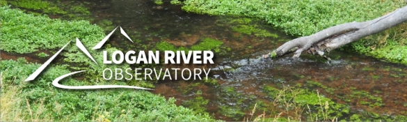
Logan River Observatory
The LRO network of monitoring sites measures aspects of climate, hydrology, and water quality along this mountain-to-urban gradient using state-of-the-art sensors at aquatic and terrestrial sites for real-time monitoring of common meteorological variables, snow accumulation and melt, soil moisture, surface water flow, and surface water quality.
Utah On-Site Wastewater Treatment Training Center
The Utah On-Site Wastewater Treatment Training Program provides formal classroom and field training and certification, as well as technology transfer, to Utah and other Rocky Mountain region regulators, consultants, contractors, and other stakeholders in on-site wastewater treatment systems. Funding for this program is generously provided by the Huntsman Environmental Research Center, and the Utah Department of Environmental Quality.

Institute for Natural Systems Engineering
INSE researchers develop, test, and apply a wide range of tools to assess water resource systems and environmental impacts; perform hydraulic and advanced physical habitat model; spatially sample river corridors using remote sensing, Global Positioning System (GPS) and hydro-acoustics. INSE also collaborates with the AggieAir Flying Circus to monitor river corridor restoration, fish telemetry, and habitat use for applications in hydraulic modeling.

Utah Center for Hydrologic Information and Computing
UCHIC is establishing a state-of-the art research platform for developing cyberinfrastructure to support data-intensive synthetic hydrologic and water resources research. The center’s work supports measurement, data analysis, data sharing, and data visualization, including the use of hydrologic and geographic information systems and digital elevation models that take advantage of spatially distributed information for hydrologic prediction.

Utah Center for Water Resources Research
As one of 54 state water institutes authorized by the Water Resources Research Act of 1964, the UCWRR administers the program at Utah State University for the State of Utah. This program is funded through the U.S. Geological Survey. The Center promotes research and instructional programs that address a wide range of water resources research areas, mainly focused on water-related issues in the State of Utah.
