AggieAir's Service Center is dedicated to providing high quality environmental data through time sensitive, high resolution, multi-spectral aerial imagery. The Service Center can also provide a wide range of post processing and analytical options to address research or application requirements. Please contact Ian Gowing for further details.
Our Process
We consult with your team to fully understand the overall objective of your flight. Our team helps you decide the the best flight area, sensor, platform and imagery combination to help you achieve your goals.
Our fully trained, part 107 certified pilots map out your requested research area and create flight maps. If applicable, our team can submit COA's to the Federal Aviation Administration that allow us to fly above 120m agl, a much higher elevation than most drone companies.
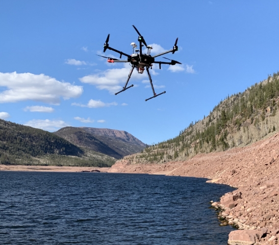
The flight team travels to the flight area after reviewing weather conditions for the day. Our team places aerial targets along the flight route to help align captured imagery. Once pre-flight checks were completed, the (s)UAS is deployed and data capture begins.
We compare the data with satellite imagery to create real-time detailed maps.
Our data technicians provide a complete package of post processing imagery and additional analytics. All imagery and can be fully aligned and orthorectified.
Examples & Capabilities
Natural Resources & Environment
AggieAir has been capturing aerial imagery of rivers and wetland environments for over 10 years. Whether it's acquiring imagery of dynamic river systems for fish habitat assessment proposals or investigating invasive riparian vegetation control issues, AggieAir is able to provide real time data to researchers.
- Monitoring In-Stream Fish Habitats
- Mapping Invasive Aquatic Weeds
- Assessments of River Chanel Migration Due to Riparian Vegetation Removal
- Wetland Monitoring and Riparian Vegetation Assessments
- Streambank Erosion/Degradation Assessments
- Fire Assessment & Long Teram Recovery Options
- Historial Imagery Analysis

Precision Agriculture
Precision agriculture (micro-management farming) is gaining momentum because of modern technology and verifiable results. In addition to its impact on agricultural and economic outcomes, precision agriculture facilities better management of water, fertilizer/pesticides, and other farming activities.
- Leaf Area Index
- Phenotyping
- Biomass Estimation
- Nitrogen Content
- Chlorophyll Content
- Soil Moisture Content
- Crop Counting

Thermal Mapping
AggieAir researchers have developed scientifically based calibration software that relies on field protocols and on-board environmental sensors to compensate for calibration challenges and create consistent, high-quality thermal data.
- Heat Loss & Utility Management
- Wildfire Mapping & Assessment